
The "Yellow Line" explained: How Israel’s emerging buffer zones are redrawing security boundaries in Gaza, Syria, and Lebanon
A closer look at the reported shift from fixed borders to expanding military buffer zones—and what it could mean for regional security and future geopolitics.


 Messenger
 Whatsapp
 Threads
 Email
Email
 Print
Print
 X
X
 Facebook
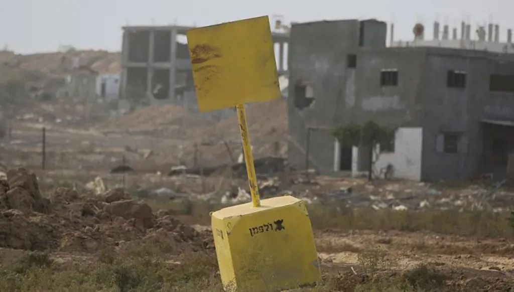


Israel's security boundaries have extended beyond its recognized political borders, establishing military buffer zones devoid of inhabitants and weapons in Gaza, Syria, and Lebanon, known as The Yellow Line.
These new security boundaries emerged after the ceasefire in Gaza, where Israel views the events of October 7th as a historical lesson and the starting point for a new political and security reality along its borders.
This reality strengthens its current security posture while laying the groundwork for potentially expansionist borders in the future, delineating new boundaries deep within the sector from Beit Lahia to Rafah via Khan Yunis.
The areas annexed were previously designated as security zones where Israeli forces are stationed to ensure the absence of militants who might pose a threat to Gaza Strip settlements, which suffered the most severe attack on October 7th.
Israel replicated the Yellow Line experience in Syria, extending its forces beyond the Golan border from the Jordanian-Syrian-Israeli border up to the Lebanese-Syrian-Israeli border, including the Quneitra region, southwestern rural Damascus, and Mount Hermon, enhancing Israeli weapons control in all four directions.
The experience was repeated in Lebanon, with a new border line drawn after the last war between Israel and Hezbollah. The Israeli army focused its military operations during this war on the ground and managed to advance up to 10 kilometers into Lebanese territory, from the Rashaya area and what the Israeli army called Cristofani Ridge, reaching Ras El-Bayada and Naqoura, and the areas between these points.
Linking the southern regions of Lebanon and Syria
Israel has established a broad security zone along its northern and eastern borders, distancing itself from any armed threats within it, thereby laying the groundwork for potential future border expansion as part of the Greater Israel project and the maps previously presented by Israeli Prime Minister Benjamin Netanyahu. It has firmly established, through military force, current security and military equations as well as future political and settlement plans.
Israel connected its penetration points in the southern regions of Lebanon and Syria. Israeli forces reached the strategic Mount Hermon from the Syrian side, and by advancing towards the areas in southern Lebanon and the eastern Rashaya region (Cristofani Ridge), Israel linked its control over Quneitra and Mount Hermon to its positions in southern Lebanon and its strategic sites such as Bint Jbeil and Maroun al-Ras, as well as the surrounding high hills in the area.
The naming of the Yellow Line
The term “The Yellow Line” began to be used in Gaza and then extended toward southern Syria and southern Lebanon. It appears that the Yellow Line will become a term reflecting Israel’s security borders rather than its political boundaries, as the areas between the original borders—such as the Blue Line in southern Lebanon—and the security borders, namely the Yellow Line, are treated as secure zones without people or structures, and residents cannot return to them.
The Yellow Line is not precisely mapped and is not fixed, which is the most significant concern. It has been reported in Gaza and southern Lebanon, and Syrian reports also mention Israel adopting a gradual and slow encroachment policy to expand buffer security zones. The advancement of the Yellow Line in Lebanon, Syria, and Gaza has been observed as a gradual process aimed at expanding Israeli control.
In summary, Israel has outlined its new boundaries in yellow, thereby bypassing international treaties that defined its borders after the 1967 war and the changes that followed the 1973 war. It appears that 2023 and the subsequent wars were a prelude to deeper Israeli expansion in the three surrounding regions—Lebanon, Syria, and Gaza—which may lead to the establishment of new political boundaries following the consolidation of the new security reality.