In Photos: Nabatieh District Bears the Scars of War as Destruction Stretches Across Villages
A field tour by Annahar correspondent Ahmed Montash reveals extensive damage to villages, ongoing military presence, and restricted movement across key roads in southern Lebanon.


 Messenger
 Whatsapp
 Threads
 Email
Email
 Print
Print
 X
X
 Facebook
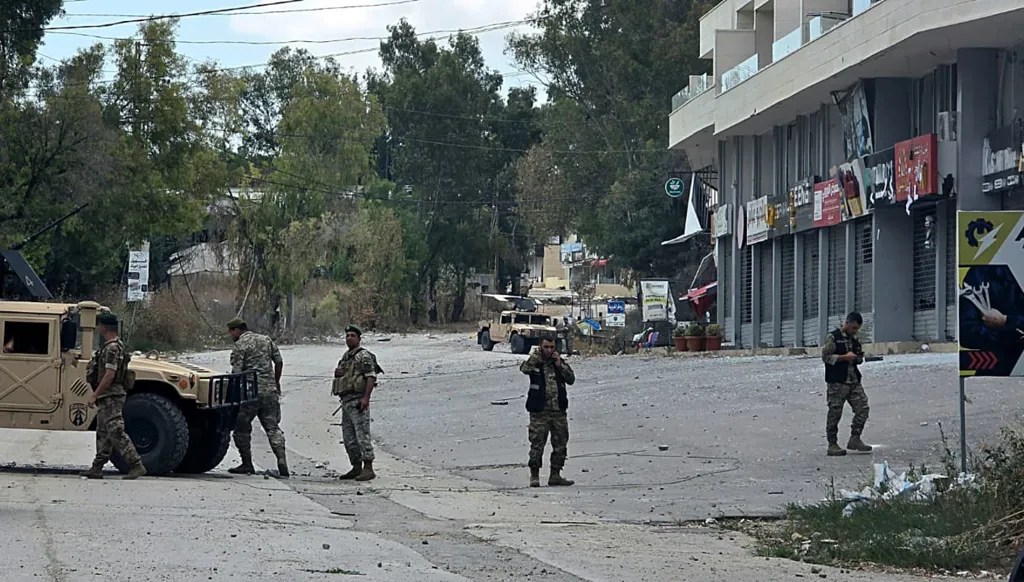
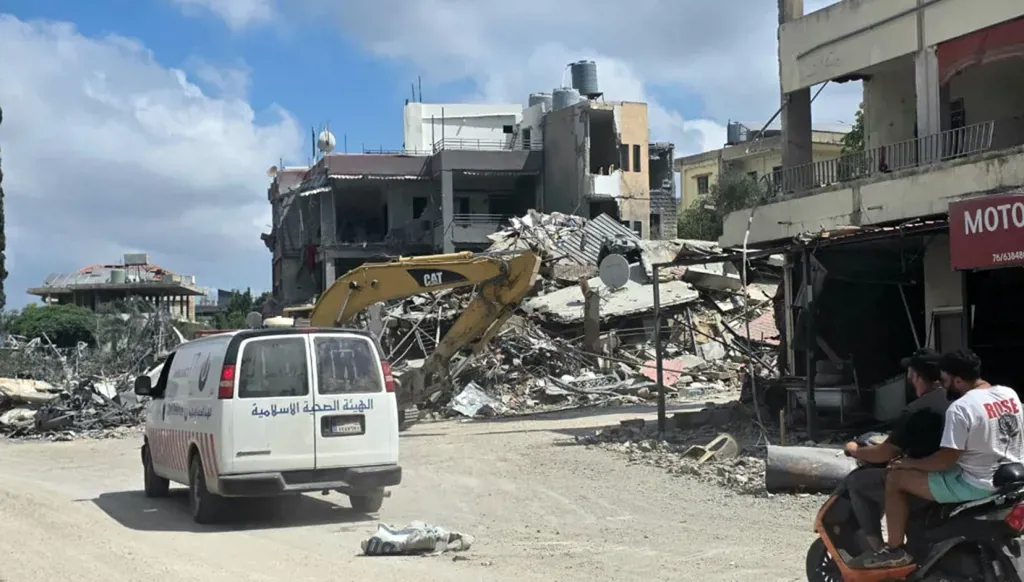
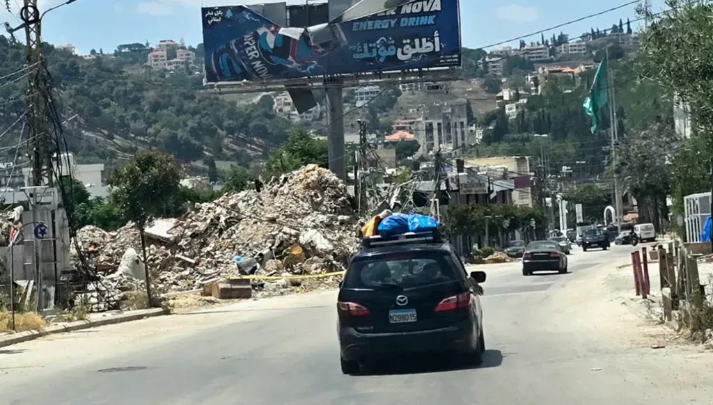


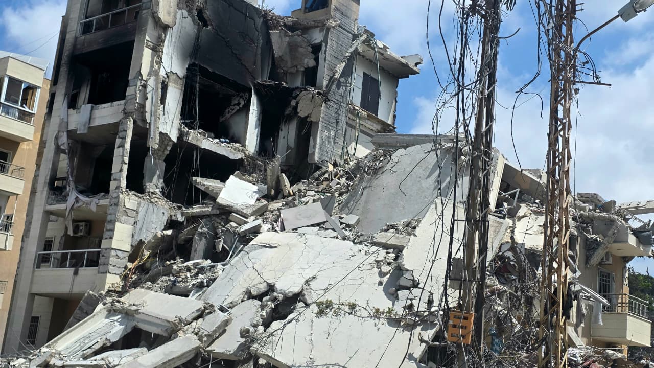
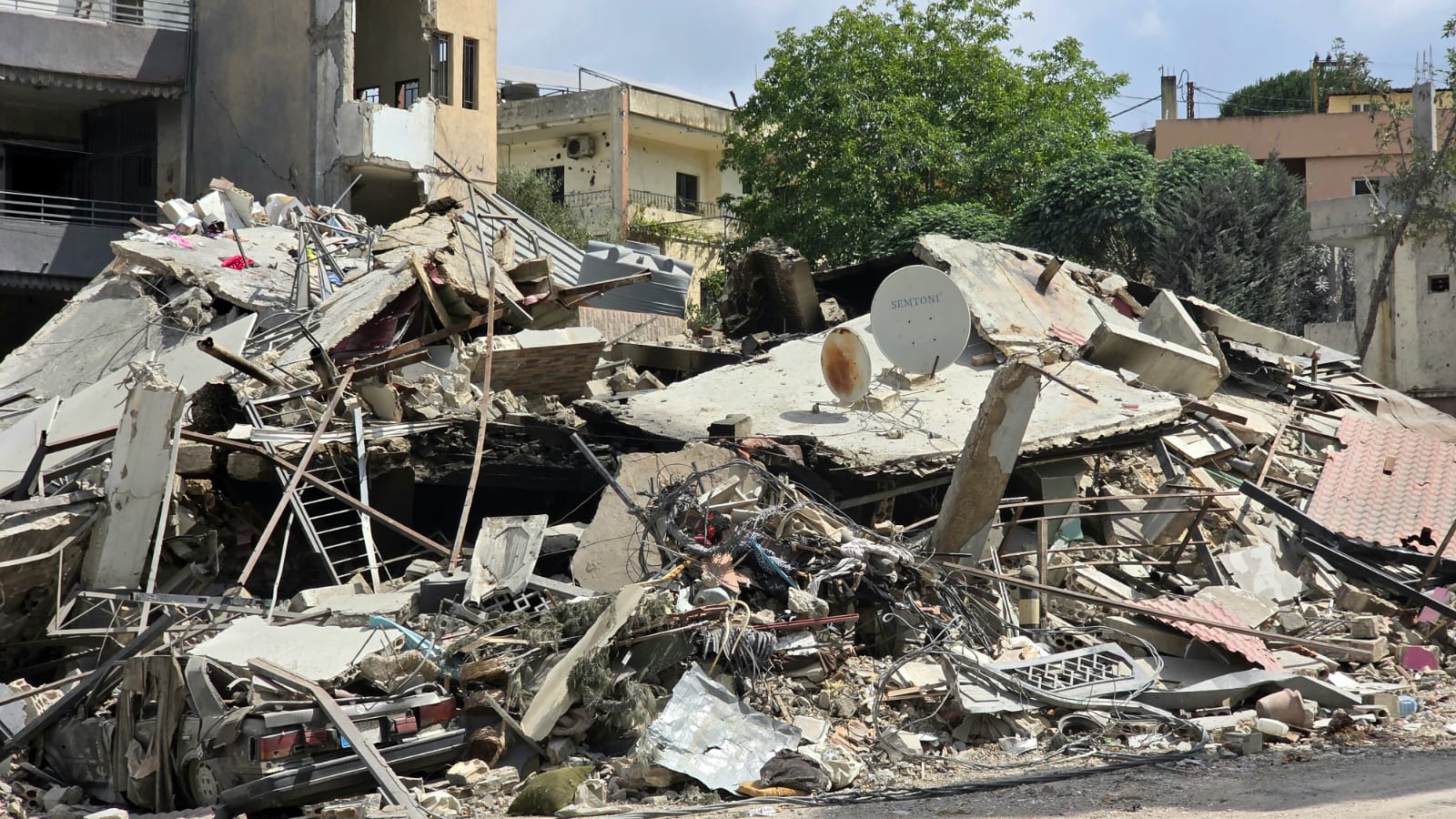
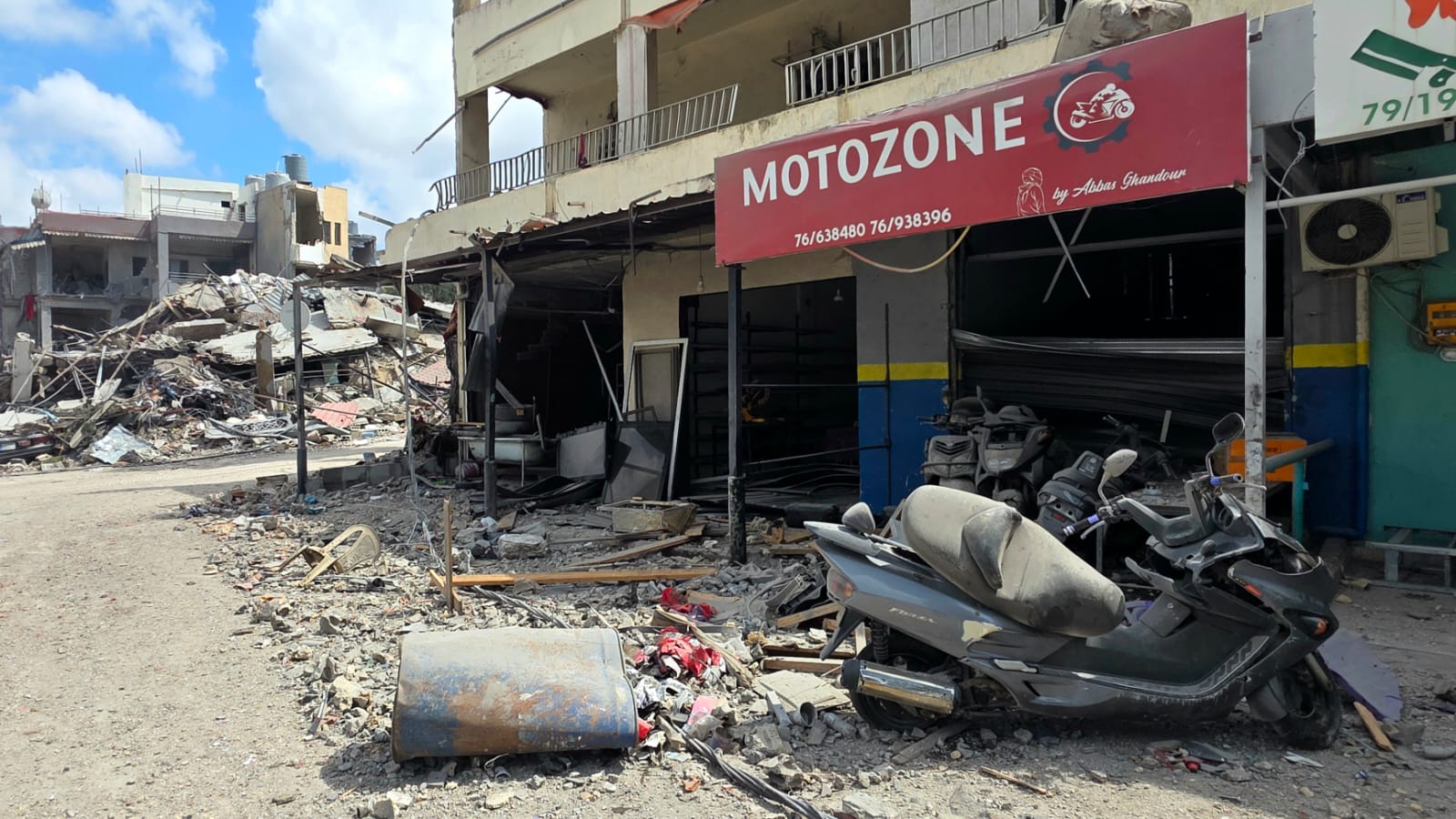
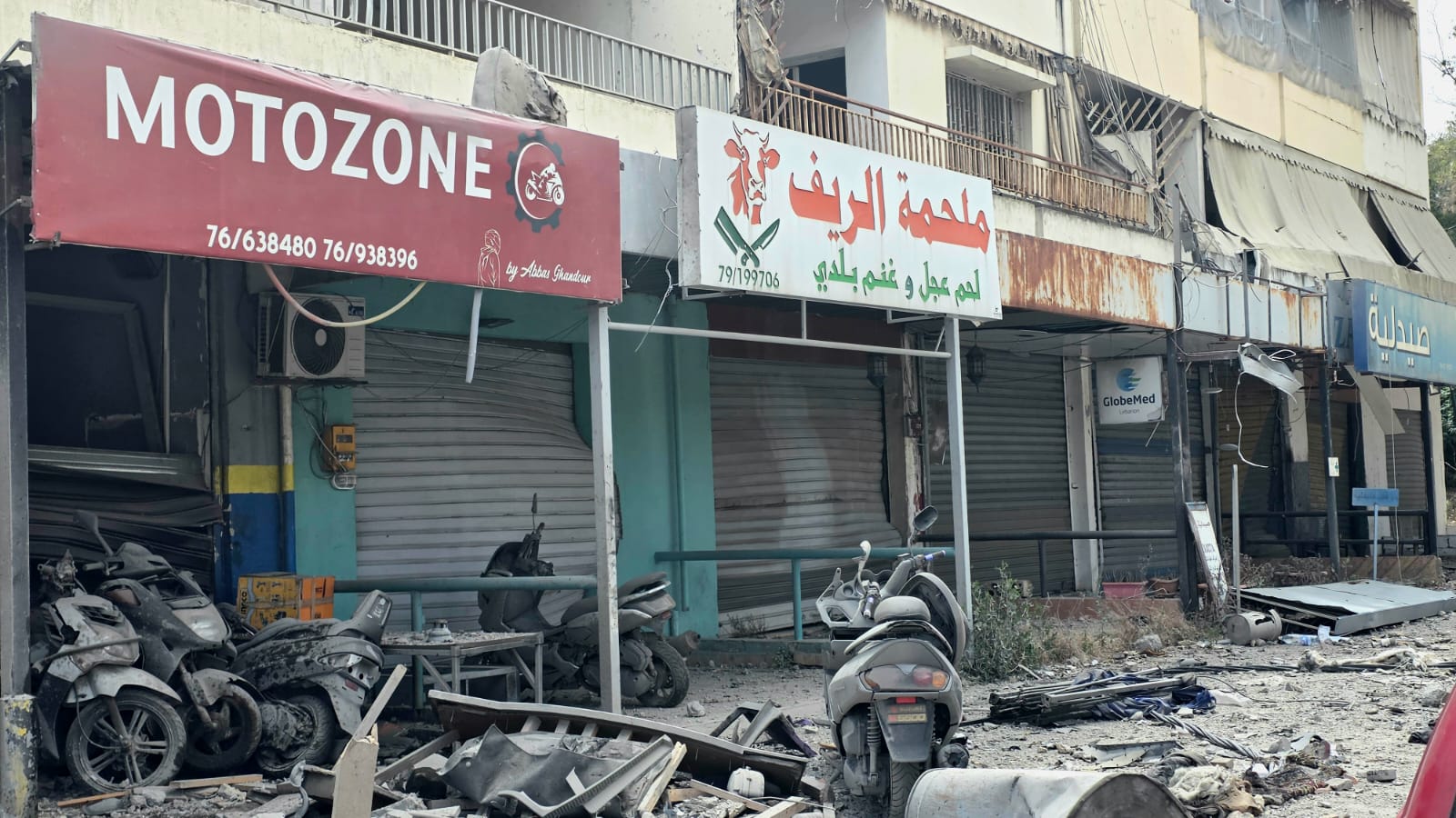
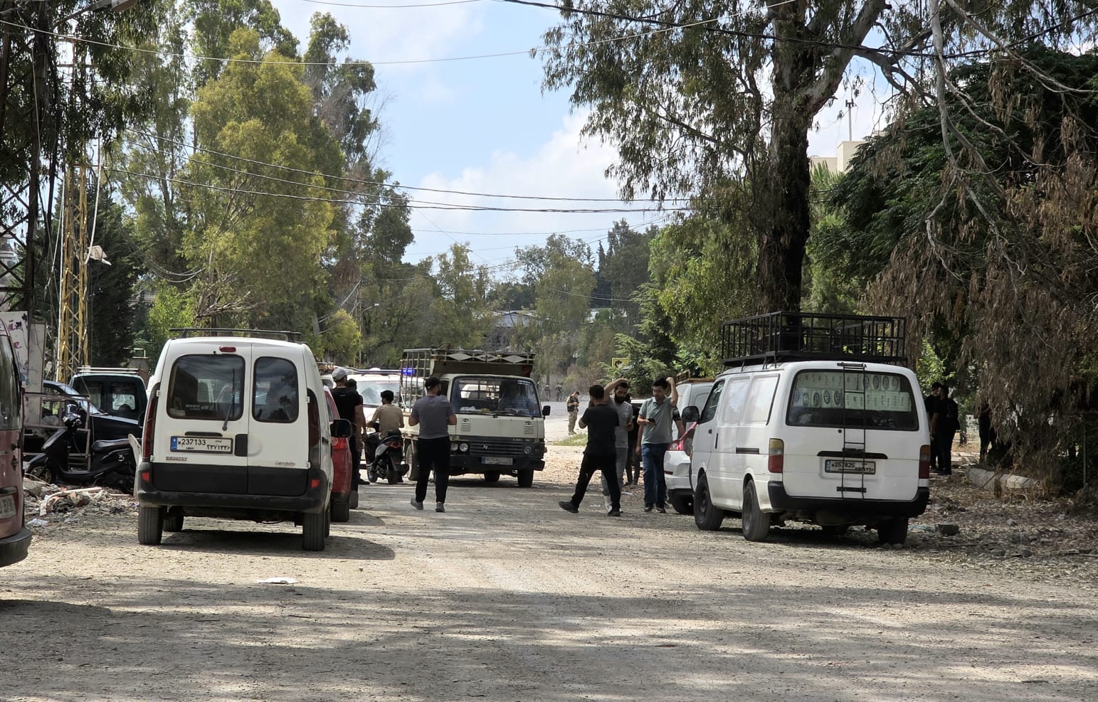
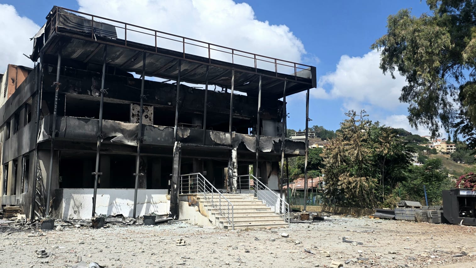
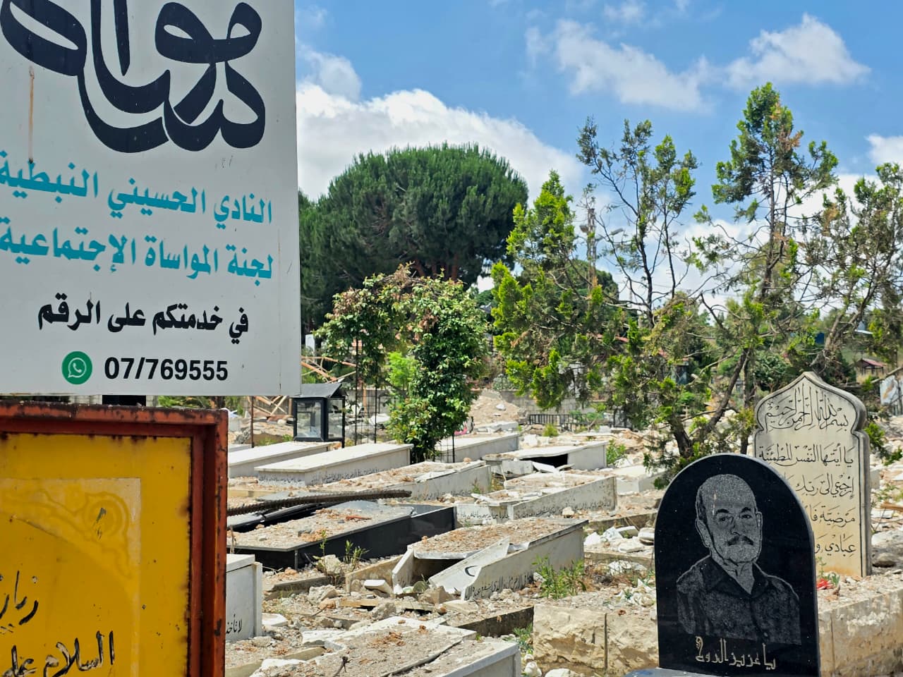
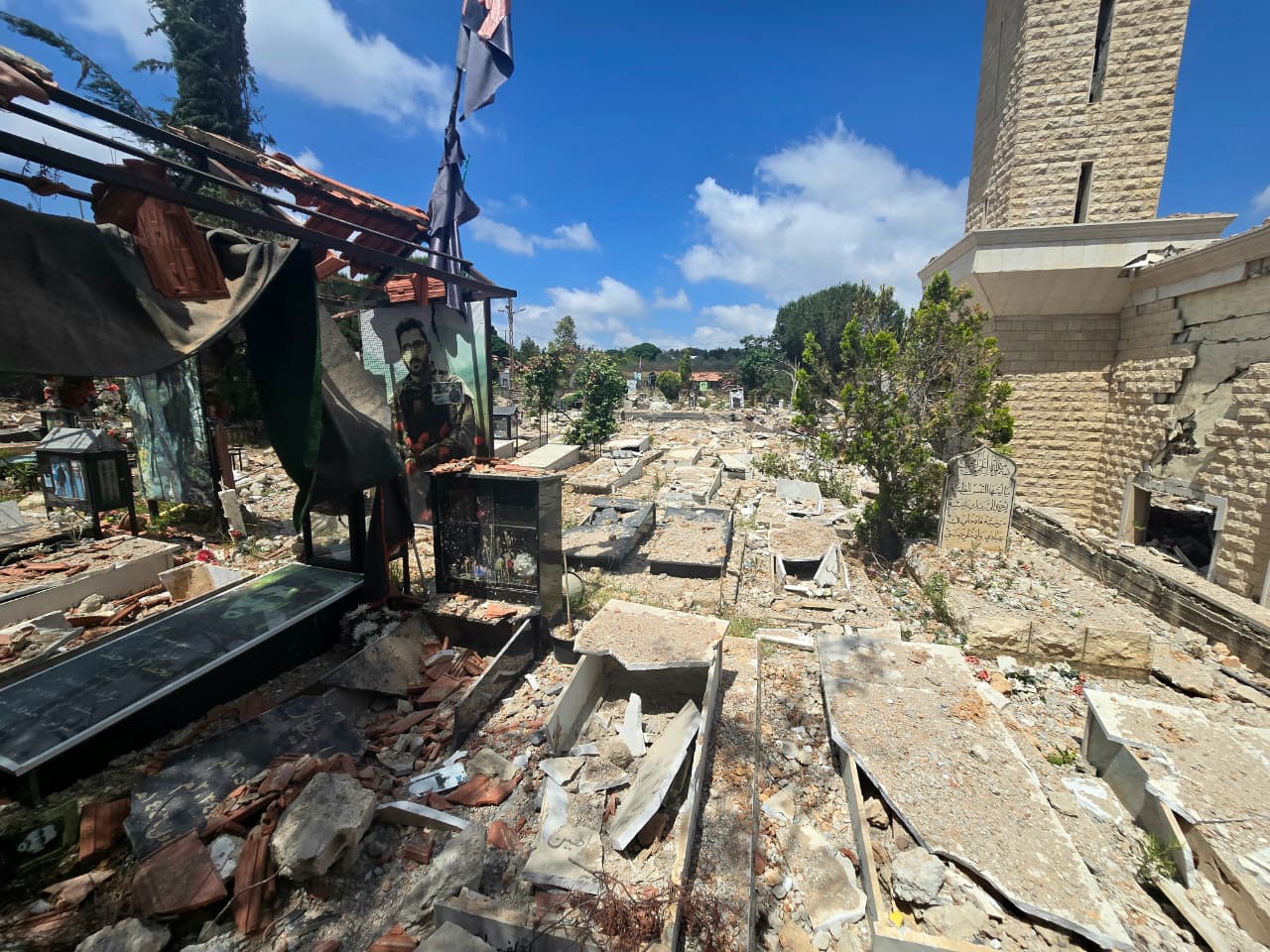
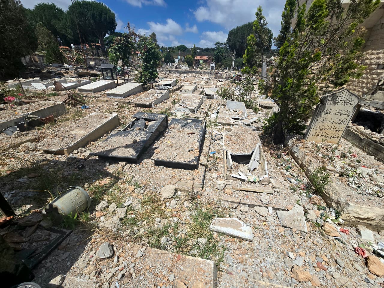
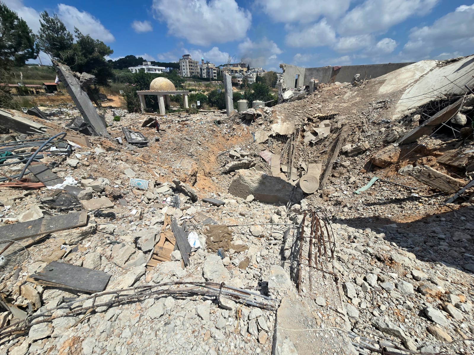
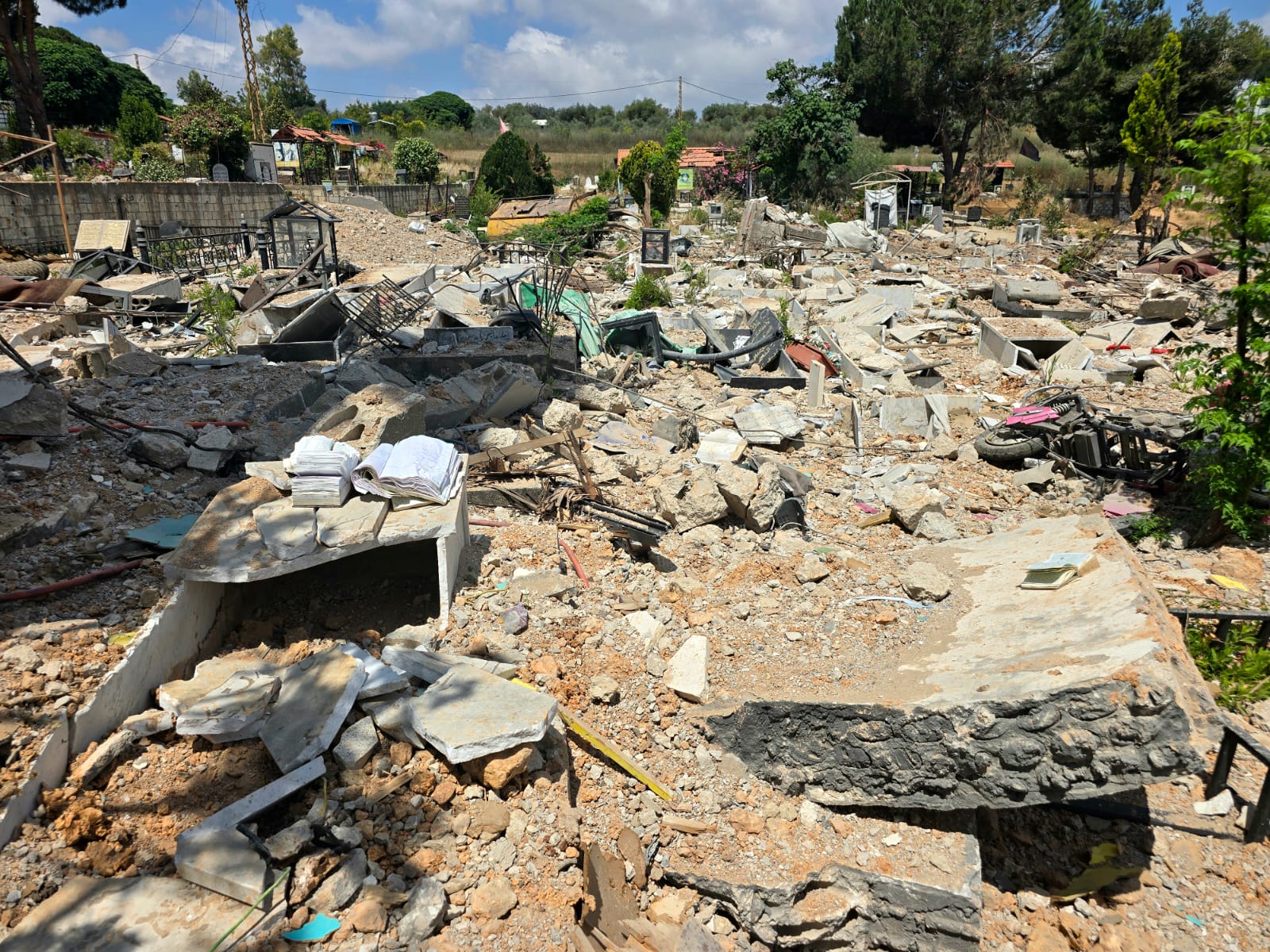
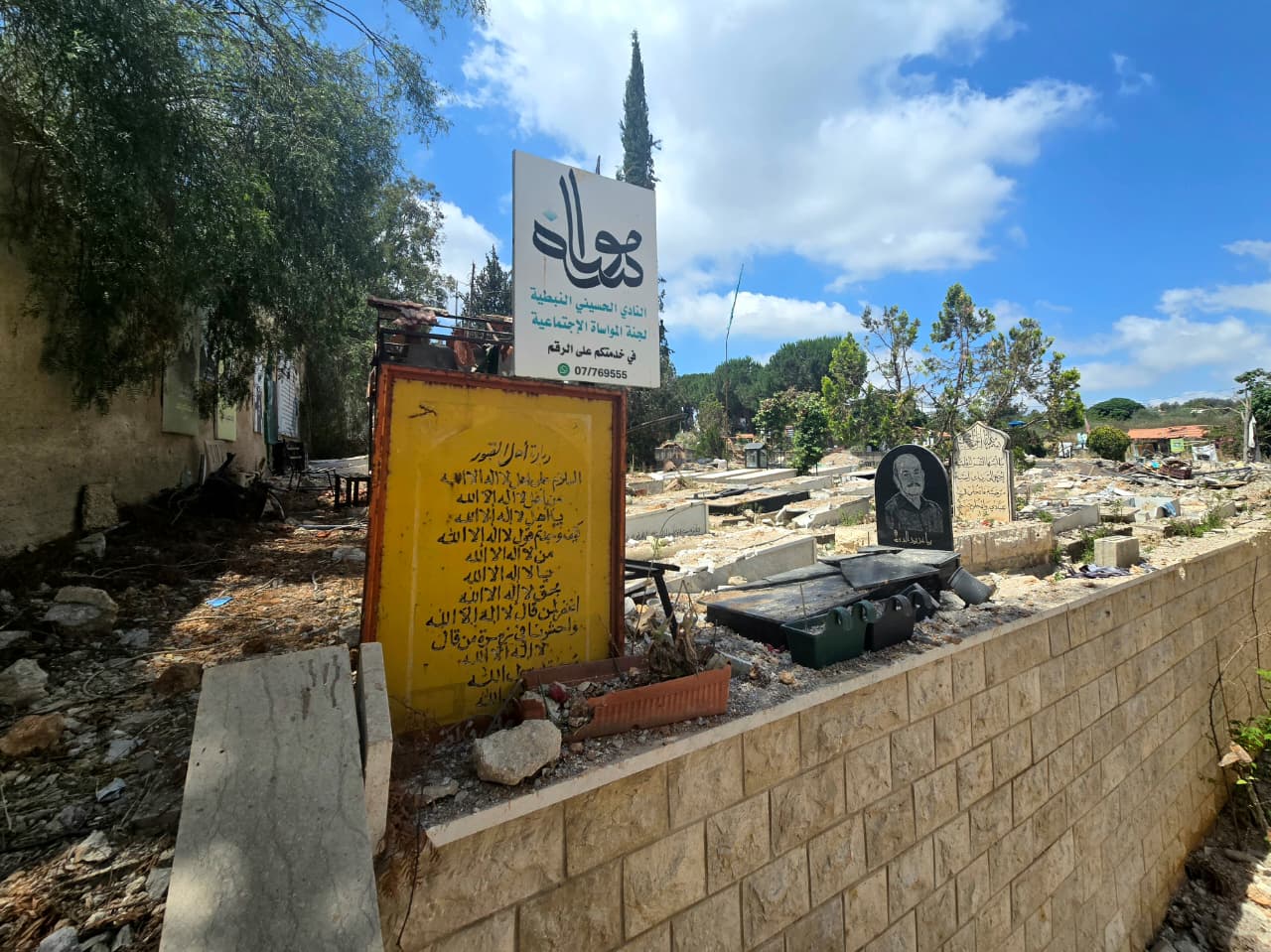
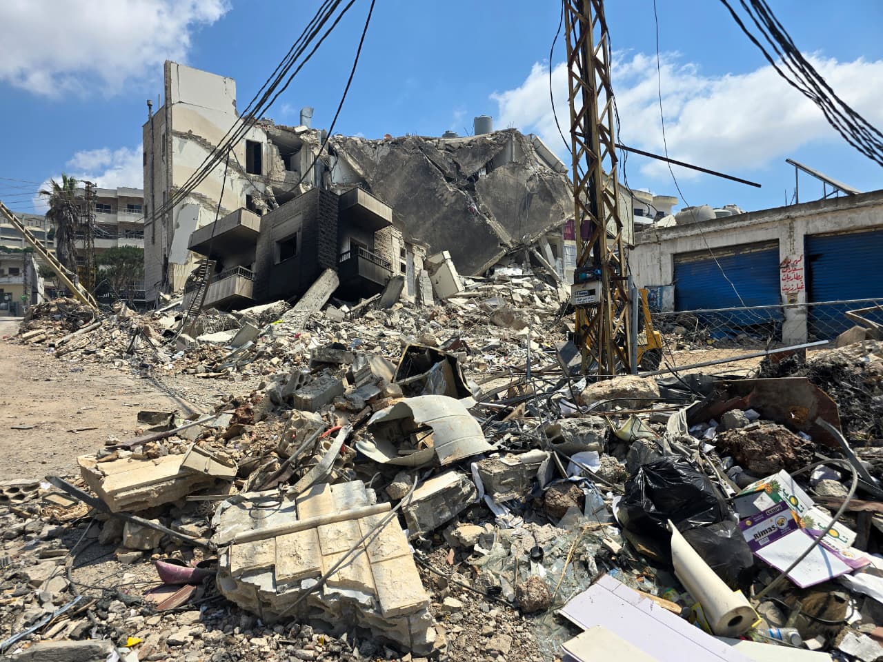
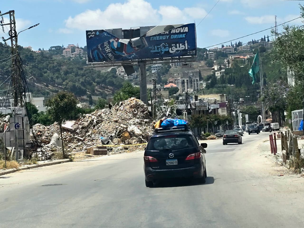
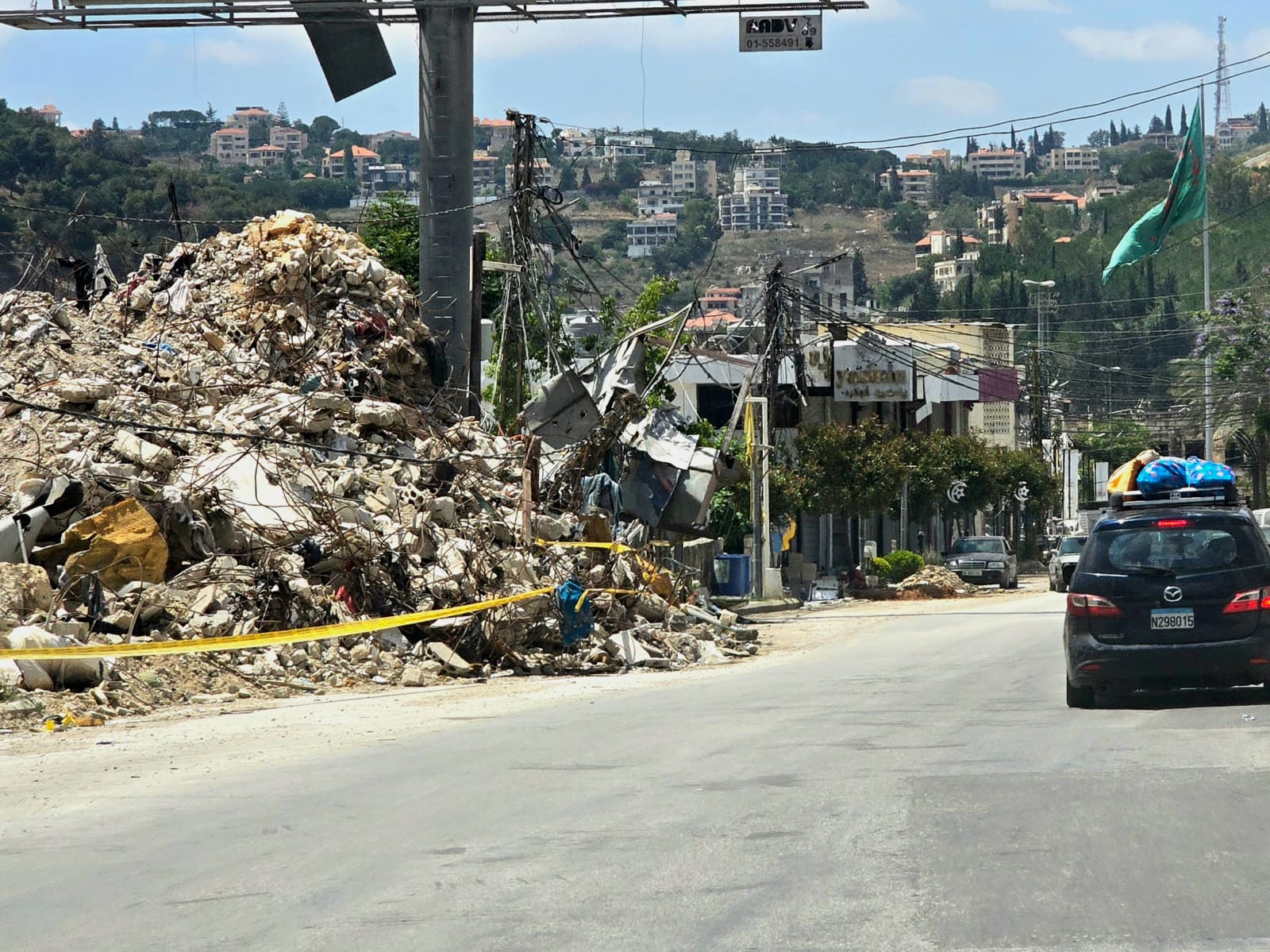
During a field tour in the Nabatieh district on Tuesday morning, Annahar correspondent Ahmed Montash documented through his camera the extent of the destruction caused by Israeli attacks on the villages and towns across the district. He traveled from the Kfar Reman roundabout toward Nabatieh El Fawqa, then continued to the junction connecting Zawtar al-Sharqiyah and Zawtar al-Gharbiyah, and to the main entrance of Kfar Tebnit, which faces the Ali Al Taher hills and the outskirts of Nabatieh El Fawqa, an area that Israeli forces were unable to penetrate or bring under their control.
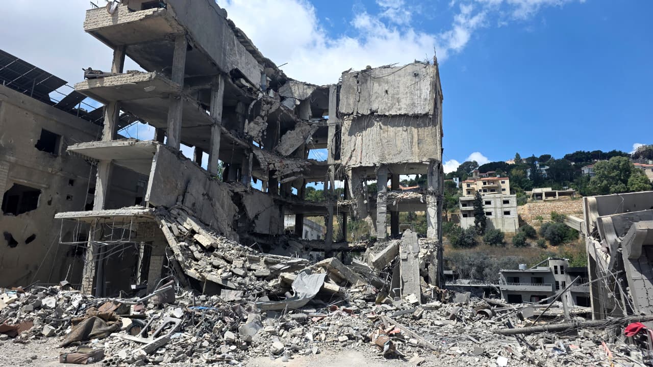
Widespread destruction was visible on both sides of the main road, affecting homes, residential buildings, shops, businesses, and electricity and water networks. While an Israeli drone continues to hover over the area, Israeli forces remain present in the town of Arnoun and in large parts of Kfar Tebnit and Zawtar al Sharqiyah. Meanwhile, the Lebanese Army remains stationed at the main entrance to Kfar Tebnit, blocking access to the town center as well as the roads leading to Arnoun and Yohmor al Shaqif. Only a very small number of people were seen entering the area before turning back.
Photos by Ahmed Montash
خاص: مراسل "النهار" أحمد منتش من المدخل الشمالي لبلدة النبطية الفوقا جنوبي لبنان pic.twitter.com/tCpumD8z7r
— Annahar النهار (@Annahar) June 23, 2026
خاص: مراسل "النهار" أحمد منتش في محيط النادي الحسيني في النبطية pic.twitter.com/fWKtII7p7X
— Annahar النهار (@Annahar) June 23, 2026