
The Litani River: A mirror of incomplete sovereignty in Lebanon
From water resource to geopolitical fault line, the Litani reveals how overlapping powers, fragmented governance, and environmental collapse reshape the very meaning of sovereignty in Lebanon.


 Messenger
 Whatsapp
 Threads
 Email
Email
 Print
Print
 X
X
 Facebook


Raymon Abi Tamer and Roy Abou Zeid
The Litani River in Lebanon is not merely a long water resource stretching from the Bekaa to the Mediterranean Sea. In essence, it is an intense geopolitical conflict in which the boundaries of legal sovereignty intersect with the boundaries of the state’s actual capacity. The central question does not concern the river as a natural element, but rather as an indicator of the nature of the state itself. Is sovereignty in Lebanon complete, or is it merely formal, eroding when it comes into contact with geography and local and regional actors?
From this perspective, the Litani becomes an analytical model for what can be called incomplete sovereignty, meaning a situation in which the state legally owns the resource but does not fully control it in functional terms within the system of decision making, administration, and security.
First: A geo hydrological structure in a state with incomplete functional sovereignty
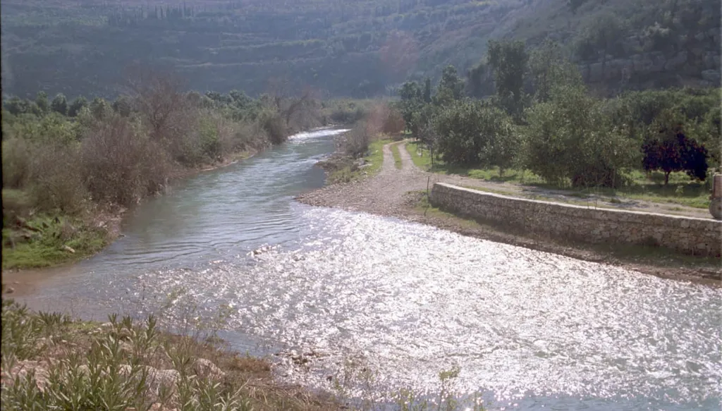
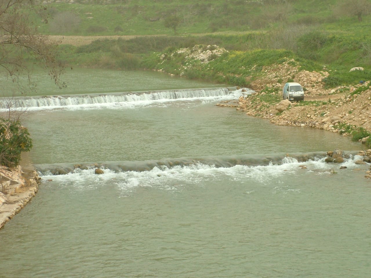
The Litani River extends for about 170 kilometers within Lebanese territory, which makes it entirely an internal river, theoretically subject to absolute Lebanese sovereignty. However, this extension does not produce functional unity. Instead, it reveals an internal division between an upper basin in the Bekaa and a lower basin in South Lebanon. This reflects not only a geographical difference but also a disparity in patterns of management, control, and investment.
In an interview with Annahar, the chairman and general director of the Litani River National Authority, Dr. Sami Aliwa, provides a highly significant statement when he notes that the upper basin has become separated from the lower basin in terms of water sources, quality, and quantity. This statement goes beyond the technical dimension to reveal a structural reality. The river is no longer a unified water system, but rather a fragmented structure due to policies, uses, and institutional accumulations. This fragmentation is not natural but political and administrative, reflecting the limits of the state in transforming geography into an integrated sovereign system.
Second: From a resource to a geopolitical space
The Litani cannot be understood outside its historical trajectory, which gradually transformed it from a natural resource into an element within the geopolitical equation of the Eastern Mediterranean. Since the early twentieth century, the river entered the strategic thinking of the Zionist movement, which viewed its waters as a vital element in building and sustaining the Israeli entity. This made it an early presence in debates related to border demarcation and the role of water geography in regional conflict.
The river came into prominence in Lebanon in June 1941, when it became a living witness to decisive battles between Allied forces and the forces of the Vichy French government, aligned with Nazi Germany, which controlled Syria and Lebanon. Fierce clashes took place at the river’s mouth as part of Operation Exporter, during which Australian forces under the Allies advanced across the Litani River to continue the plan to liberate Lebanon and Syria.
With the formation of the modern Lebanese state, a counter effort emerged to transform the river into a pillar of economic and developmental sovereignty through irrigation and energy projects, particularly with the establishment of the Litani River National Authority under the leadership of engineer Ibrahim Abdel Aal, who played a central role in affirming Lebanon’s full rights over its waters in the face of regional water redistribution projects during the 1950s.
However, the Litani did not remain confined to a developmental role. It gradually turned into a security and military line of contact. Since Operation Litani in 1978, the river entered the core of Israeli security doctrine as a tactical and strategic boundary. After the 2006 July War, it acquired a new legal and security dimension through Resolution 1701, which redefined the area south of the river within frameworks of security control and military deployment. In recent times, Israeli statements regarding southern Lebanon have continued to reflect the fact that the Litani is still perceived through an Israeli security lens. Thus, the river has transformed from an internal Lebanese waterway into a space where sovereignty intersects with water, security intersects with geography, and the state intersects with open conflict.
Third: The reproduction of sovereignty between the state and the quasi state
One of the most important keys to understanding the Litani lies in redefining the actors within its geographical space. Instead of the traditional binary of state versus outside, a more complex model emerges based on multiple centers of action.
This structure is distributed across three levels:
- The Lebanese state as the legal owner of the resource, but with limited executive capacity.
- The quasi state represented by Hezbollah, which exercises field influence over the social and security geography.
- The Israeli regional actor as a border security element that reshapes the strategic environment of the south.
This overlap does not indicate a linear conflict. Rather, it points to multiple forms of sovereignty within the same space, leading to the fragmentation of the traditional concept of sovereignty in favor of overlapping functional sovereignties.
Fourth: The south as a point of geopolitical reconfiguration of the river
In the southern structure of the river, especially after the security transformations linked to United Nations Security Council Resolution 1701, the Litani is no longer merely a watercourse. It has become a geographical reference for organizing the security space. However, this transformation cannot be read as a purely security related phenomenon. It is part of a broader reconfiguration of the function of geography itself. Bridges, waterways, and infrastructure connected to the river have become elements within a wider system that regulates movement and connectivity in the southern area. This shift indicates that geography is no longer neutral. It has become an active component in producing both security and instability.
Fifth: The environment as a third layer of structural crisis
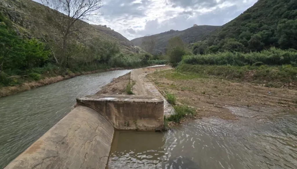
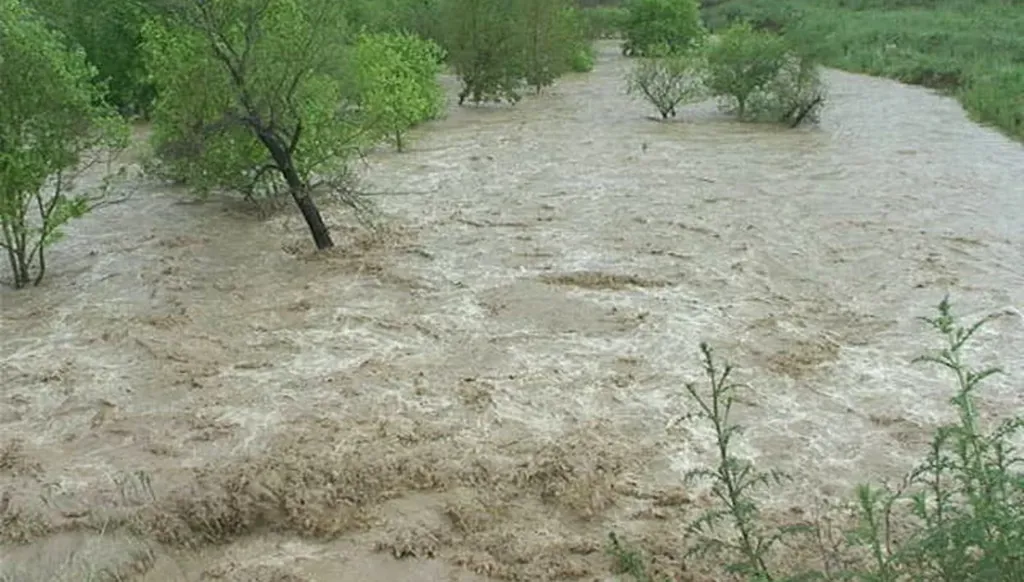
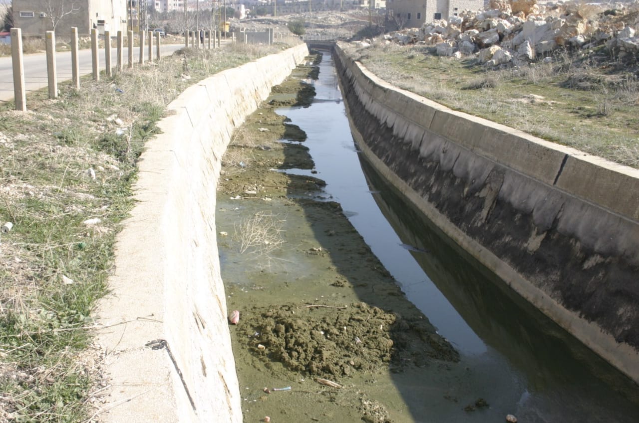
Alongside the sovereignty and geopolitical dimensions, the environmental dimension emerges as a third layer of the river’s functional breakdown. Pollution from untreated sewage, industrial waste, and poor resource management is not merely a passing environmental issue. It has become an expression of a structural failure in managing public space. In this context, the ongoing technical efforts of the Litani River National Authority reveal a key paradox: the presence of institutional capacity alongside a weakness in comprehensive sovereign effectiveness.
Sixth: The Litani as a model of incomplete sovereignty
The complex analysis of the river leads to a central conclusion. The Litani is not simply a disputed resource. It is a model of a state that exercises sovereignty as legal ownership without being able to transform that ownership into full functional sovereignty over geographical space. Accordingly, the Lebanese situation can be read through the Litani as:
- An incomplete sovereign space
- A field where the functions of the state intersect with those of local and regional actors
- A geographical structure that produces politics as much as it is shaped by it
From the river to the concept of the state
The Litani River, in the final analysis, goes beyond being a water, environmental, or even security file. It reveals a deeper question related to the nature of the Lebanese state itself: a state that legally owns geography but does not fully control it in functional terms. In this sense, the question is no longer: who controls the Litani? Rather, it becomes more fundamental: what kind of sovereignty can be exercised within a geography where centers of power are multiple and the unity of decision making is weakened? In this context, the Litani transforms from a river into an analytical concept of the state, and from a waterway into an open test of the limits of sovereignty in contemporary Lebanon.